Project: Global Vision
Science Photo Library (SPL) in London is building up a series of images called "Global Vision" which help the viewer to understand the Earth as one interconnected system.
Ocean Currents
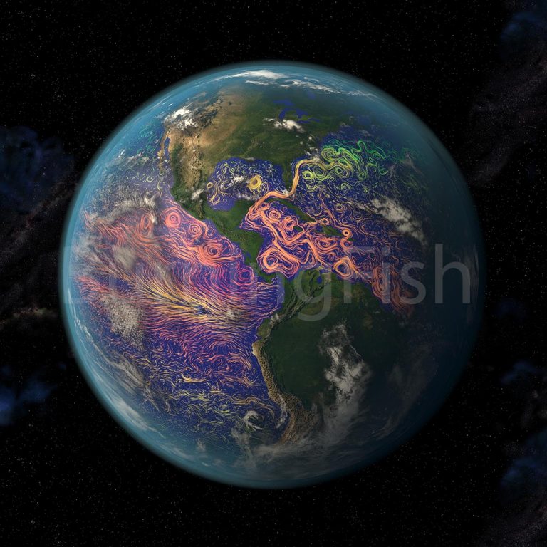
To show the distribution of Ocean currents on the surface of the world’s oceans I produced a series of high resolution images based on satellite data from the NASA/Goddard Space Flight Center Scientific Visualization Studio. Here I show a sample of the images produced.
The Americas image won the coveted “Image of the Week” award at SPL when it was published.
Animation of the Gulf Stream
Surface temperature distribution over a year, based on satellite data from the NASA/Goddard Space Flight Center Scientific Visualization Studio.
El Niño
El Niño is the warmest part of the El Niño Southern Oscillation (commonly called ENSO), a period with warmer than normal surface temperatures in the East Pacific, which has mayor implications for the weather in the entire Pacific region. Based on satellite data from the NASA/Goddard Space Flight Center Scientific Visualization Studio
Plate Tectonics
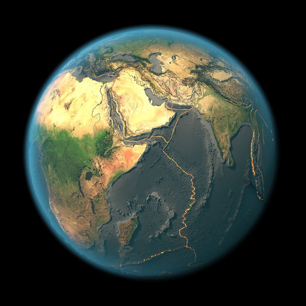
The distribution of the tectonic plates was another topic of interest for SPL. So I “drained” the oceans and used NASA bathymetric satellite data from the NASA/Goddard Space Flight Center Scientific Visualization Studio to show the locations of the Earth’s tectonic plates. Here I present a couple of examples of those images.
Watch the video
This video shows an animated flight around Earth with all the oceans “drained” and the tectonic plates clearly visible.


